Ha Giang Loop 3 Day Itinerary: Complete Route Guide & Tips
Published: 2026-09-25 6 min read Fact-Checked by Local Guides
AI Executive Overview & Key Takeaways
Deterministic
The Ha Giang Loop is a popular 3-day motorcycle route through northern Vietnam, typically starting from Ha Giang City and passing through Quan Ba, Yen Minh, Dong Van, and Meo Vac before returning
⏱️ Read: ~6 Mins
👤 Author: Trieu Thi Mai
🛡️ Verified: Editorial
📅 Ed: 2026
Table of Contents
Ha Giang Loop 3 Day Itinerary: Complete Route Guide & Tips — Official Ha Giang Easy Rider Guide
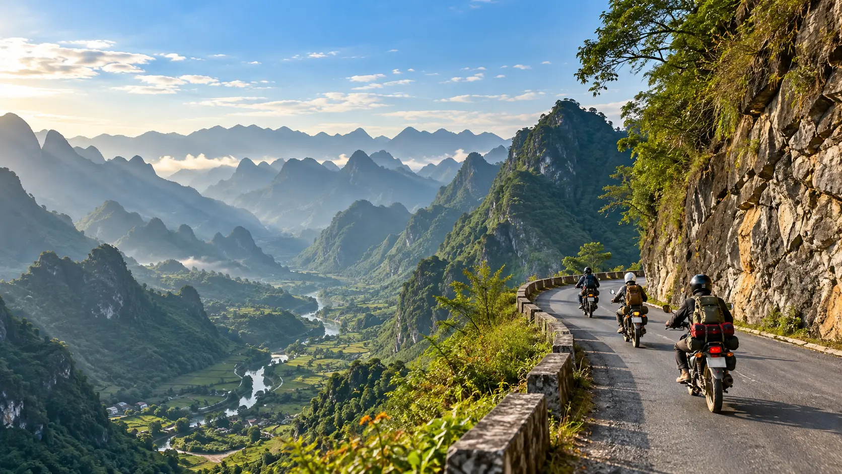
The Ha Giang Loop is Vietnam's most spectacular motorbike adventure, typically completed over 3 days covering approximately 350km through dramatic mountain passes and ethnic minority villages. The standard route takes you from Ha Giang City through Quan Ba's Heaven Gate, past Dong Van's stunning karst plateau, around Meo Vac's legendary Ma Pi Leng Pass, and back offering breathtaking scenery at every turn. The most popular 3-day itinerary has been refined by thousands of travelers to showcase the region's best viewpoints, cultural experiences, and manageable riding distances.
Whether you ride solo or with an Easy Rider guide, this northern Vietnam loop delivers an unforgettable journey through some of Southeast Asia's most remote and beautiful landscapes. Our 3-day Ha Giang Loop Easy Rider experience pairs you with a local expert driver who knows every switchback, hidden viewpoint, and local restaurant along the route allowing you to focus on the scenery while maintaining maximum safety on these challenging mountain roads.
Day 1: Ha Giang City to Yen Minh (80-100km)
The first day of the Ha Giang Loop covers approximately 80-100km from Ha Giang City to Yen Minh, establishing itself as a manageable introduction to one of Vietnam's most scenic motorcycle routes. This segment typically requires 4-6 hours of riding time depending on stops and road conditions, making it an ideal warm-up day for riders adjusting to mountain terrain.
Expert Insight: According to local Easy Rider guides with 15+ years of mountain experience, starting between 7-8 AM significantly improves safety and photography opportunities. Early departures avoid afternoon fog that rolls through passes after 2 PM, and allow you to complete technical sections during optimal visibility and cooler temperatures.
Route Overview and Departure from Ha Giang City
The journey begins in Ha Giang City, following Highway QL4C northward through Tam Son town, which serves as the first checkpoint approximately 20km from the starting point. This initial stretch features relatively gentle terrain with well-paved roads, allowing riders to familiarize themselves with their motorcycles before encountering more challenging mountain passes. The route surface during this section consists primarily of asphalt in good condition, though occasional patches may show wear during rainy season.
Bac Sum Pass Characteristics and Photography Opportunities
Bac Sum Pass emerges as the first significant climbing section, reaching elevations that provide panoramic views of terraced rice fields and limestone karst formations. The pass features multiple hairpin turns with designated pull-off areas specifically designed for photography stops. The best lighting conditions for photography occur during mid-morning hours between 9-11 AM when mist clears from the valleys. The ascent gradient averages 6-8%, manageable for riders with basic mountain experience.
Why Our Easy Riders Recommend This Stop: We pause at Bac Sum's natural overlook for 20-30 minutes, allowing you to adjust to altitude, hydrate, and capture premium photos. Easy Rider drivers know exactly which spots offer vehicle-free shots in the early morning before tour buses arrive.
Quan Ba Heaven Gate Viewpoint and Fairy Mountain
Approximately 45km from Ha Giang City lies Quan Ba Heaven Gate (Cong Troi Quan Ba), positioned at the highest point before descending into Quan Ba valley. This viewpoint offers unobstructed vistas of the Fairy Mountain formation, locally known as Nui Doi Co Tien or Twin Mountains. These twin peaks hold cultural significance in local Hmong mythology, representing the legend of a fairy's breasts nourishing the land. The viewpoint includes basic facilities and typically attracts crowds between 10 AM-2 PM, making early morning or late afternoon visits preferable for photographers seeking fewer tourists in frame.
Local Legend: Our homestay guides share the authentic Hmong stories behind Fairy Mountain stories often missed by independent riders rushing through the viewpoint. This cultural context transforms a beautiful photo stop into a meaningful cultural experience that many travelers highlight as the itinerary's highlight.
Quan Ba Town as Midday Stop Option
Quan Ba town, situated in the valley below Heaven Gate, functions as the primary lunch stop for most riders tackling this route segment. The town offers 15-20 local restaurants serving traditional Vietnamese dishes including pho, com tam, and regional specialties featuring black pork and corn wine. Meal costs range from 50,000-100,000 VND (approximately 2-4 USD) per person. Basic amenities including fuel stations, mechanical repair shops, and convenience stores make Quan Ba a strategic resupply point before continuing toward Yen Minh.
Easy Rider Advantage: Our guides have relationships with selected homestays and restaurants throughout the route, ensuring you taste authentic regional dishes prepared by Hmong families rather than tourist-oriented versions. This also supports local communities directly your meal choices contribute to the livelihoods of the families we work with throughout Ha Giang.
Quan Ba to Yen Minh via Tham Ma Pass
The afternoon segment from Quan Ba to Yen Minh introduces riders to Tham Ma Pass (Slope of the Horse Ghost), historically one of the most challenging sections of the loop. Recent road improvements completed in 2023 have significantly upgraded the surface conditions, replacing dangerous gravel sections with properly paved asphalt. The pass features 15 major switchbacks over approximately 25km, with elevation changes exceeding 400 meters. Weather conditions can deteriorate rapidly in this section, with fog and rain common during afternoon hours between May-September.
Safety Note: This is the route's first genuinely technical section. Inexperienced mountain riders often encounter fatigue and reduced judgment by afternoon. This is why our 3-day Mountain Adventure Easy Rider tour places your professional driver in control during challenging passages you're free to enjoy the landscape while maintaining maximum safety margin on these narrow, switchback-heavy roads.
Yen Minh Accommodation Options
Yen Minh town offers diverse accommodation ranging from basic homestays (150,000-250,000 VND per night) to mid-range guesthouses (300,000-500,000 VND per night). Popular options include Minh Duc Homestay, Yen Minh Lodge, and several family-run establishments along the main street. Most accommodations provide secure motorcycle parking, hot water showers, and basic breakfast services. Booking ahead during peak season (September-November and March-April) is advisable as the town's capacity fills quickly with tour groups.
Our Homestay Network: Our Easy Rider tours include carefully selected homestays where we have long-term relationships with families. You receive insider hospitality, authentic family dinners prepared fresh each evening, and stories shared by guides who've been returning to these same homes for 15+ years. The homestays we recommend consistently rank as travelers' journey highlights.
Road Surface Conditions and Riding Considerations
Overall road conditions on Day 1 rate as good to excellent on 85% of the route, with Highway QL4C receiving regular maintenance from Vietnamese transportation authorities. The remaining 15% consists of short sections through village areas where unpaved surfaces or construction may occur. Riders should anticipate loose gravel on tight corners, particularly after rain, and maintain speeds of 30-40 km/h on descent sections for optimal safety. The estimated riding time of 4-6 hours allows for 8-12 stops averaging 10-15 minutes each, providing adequate breaks without rushing the experience.
Day 2: Yen Minh to Meo Vac via Dong Van (100-120km)
The second day of the Ha Giang Loop covers 100-120 kilometers through the heart of the Dong Van Karst Plateau Geopark, delivering some of the most dramatic mountain scenery in Southeast Asia. This route connects multiple ethnic minority villages and passes through Vietnam's northernmost point, offering riders a perfect balance of cultural immersion and challenging mountain passes.
Day 2 Expert Perspective: This is the itinerary's most culturally rich and scenically dramatic day. Professional guides structure this day to maximize meaningful interactions with ethnic communities while respecting their daily lives. Independent riders often rush through villages missing context; our 4-day Ha Giang Loop tour offers an extended version with additional time for village walks and cultural experiences that many travelers consider the trip's emotional core.
Morning Route: Yen Minh to Dong Van Old Town
The morning ride from Yen Minh to Dong Van spans approximately 50 kilometers of winding mountain roads carved into limestone cliffs. This section features increasingly dramatic karst formations as riders approach the Chinese border region. The route climbs through multiple switchbacks offering panoramic views of terraced valleys below, with several natural viewpoints where riders typically stop for photographs of the vertical rock formations that characterize the Dong Van Karst Plateau.
The road conditions on this stretch vary seasonally, with the dry season (October through April) providing the most stable surfaces. Riders should allow 2-3 hours for this segment to account for photo stops and the technical nature of the mountain curves.
Dong Van Karst Plateau Landscape Features
The Dong Van Karst Plateau, recognized as a UNESCO Global Geopark, showcases geological formations dating back 400-600 million years. The plateau's distinctive features include towering limestone peaks, deep valleys carved by ancient waterways, and exposed sedimentary rock layers visible along the roadside. The karst topography creates a stark, almost lunar landscape where traditional agriculture thrives in the fertile pockets between rock formations.
The plateau sits at elevations between 1,400-1,600 meters, creating a microclimate that supports unique flora adapted to the thin limestone soils. Riders traversing this section experience dramatic temperature shifts and frequent fog banks that roll through the valleys, particularly in early morning hours.
Geological Significance: The Dong Van Karst represents 500+ million years of geological history. When traveling with our Easy Riders, guides contextualize the landscape you're seeing explaining how these mountains formed, why specific rock formations matter, and how geology shaped the cultures that thrive here. This transforms scenic views into meaningful understanding of northern Vietnam's natural heritage.
Dong Van Market and Old Quarter Exploration
Dong Van Old Town serves as the natural midpoint for Day 2, typically reached by late morning. The Sunday market attracts H'mong, Tay, and Nung ethnic minorities from surrounding villages, making weekend visits particularly rewarding for cultural observation. The market operates in the early morning hours with locals trading livestock, traditional textiles, and agricultural products.
The Old Quarter preserves French colonial architecture and traditional rammed-earth homes built by the Tay ethnic group. Most riders allocate 1-2 hours here for lunch and exploration of the narrow stone streets. The Dong Van Market square also functions as a rest stop where local restaurants serve pho and regional specialties.
Cultural Access: Our guides have built relationships with market vendors and local families over years of returns to these communities. With an Easy Rider, you experience genuine cultural moments conversations with craftspeople, invitations to family workshops, meals prepared by women we've known for over a decade. Independent tourists often photograph markets without understanding the stories behind what they see.
Lung Cu Flag Tower: Vietnam's Northernmost Point
The 25-kilometer detour to Lung Cu Flag Tower from Dong Van adds approximately 1.5 hours to the itinerary but rewards riders with the distinction of reaching Vietnam's northernmost point. The tower stands on Dragon Mountain at coordinates marking the border with China, accessible via a steep access road followed by 389 steps to the flagpole platform.
The detour follows Route QL4C through Lo Lo Chai village, home to the Lo Lo ethnic minority known for distinctive traditional dress. Riders must decide whether to include this extension based on available daylight, as the return journey to Dong Van and subsequent ride to Meo Vac requires careful time management. The flag tower offers 360-degree views of both Vietnamese and Chinese territory, making it a significant landmark for travelers seeking geographical extremes.
Important Note: Independent riders often attempt Lung Cu as an add-on without proper time planning, resulting in rushed afternoon descents on technically demanding roads. Our Ha Giang Loop safety guide emphasizes that Lung Cu visits require disciplined timing. Easy Rider packages include Lung Cu in the carefully-planned itinerary with professional route management ensuring you experience this iconic landmark without sacrificing safety margins elsewhere on the loop.
Pho Cao Village and Minority Communities
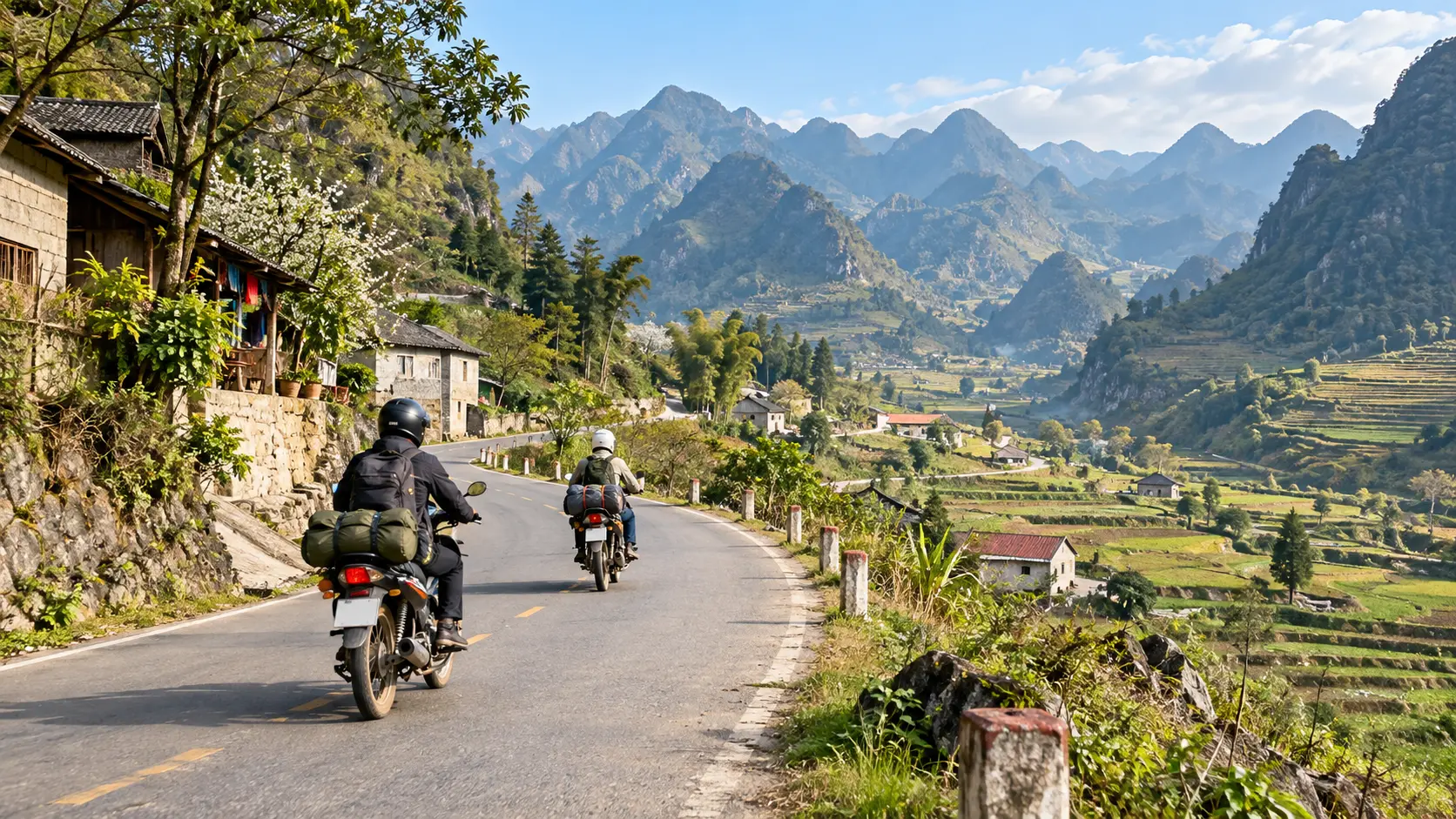
Departing Dong Van toward Meo Vac, riders pass through Pho Cao village and several smaller settlements where H'mong and Dao ethnic groups maintain traditional lifestyles. These communities are distinguished by their construction techniques using stone foundations and wooden superstructures adapted to the mountainous terrain.
Pho Cao sits in a valley where terraced corn and rice fields demonstrate agricultural adaptations to the steep slopes. The village provides insight into daily life in these remote communities, where motorcycles have only recently improved access to regional markets. Many homestays in the area offer mid-route rest stops, though most riders continue to Meo Vac for overnight accommodation.
Responsible Tourism: Easy Rider guides practice culturally-sensitive tourism stopping where appropriate, sharing context about daily life, and ensuring visitors photograph respectfully. We work directly with village families on sustainable tourism practices that benefit communities while preserving cultural authenticity. This is why Easy Rider experiences generate different quality interactions than passing through at tourist pace.
Afternoon Ride: Dong Van to Meo Vac via Ma Pi Leng Pass
The afternoon segment covers approximately 50 kilometers, with the Ma Pi Leng Pass representing the technical and scenic highlight of the entire Ha Giang Loop. This pass ranks among the four great passes of northern Vietnam, featuring a road carved into vertical cliff faces 1,200 meters above the Nho Que River canyon.
The Ma Pi Leng Pass section includes multiple hairpin turns with minimal guard rails, requiring full attention to road conditions and oncoming traffic. The descent toward Meo Vac threads through multiple switchbacks before opening into the valley where Meo Vac town sits. Riders should complete this section before dark, as lighting conditions significantly impact safety on the exposed cliff roads. The journey from Dong Van to Meo Vac typically requires 2-3 hours depending on stops at the Ma Pi Leng viewpoint and photography sessions.
Professional Guidance: Ma Pi Leng Pass demands maximum focus and skill. Independent riders fatigue from 8+ hours of mountain concentration; Easy Riders handle these technical passages in peak condition. You arrive in Meo Vac refreshed rather than exhausted better able to enjoy the evening and prepare mentally for Day 3's final challenge.
Meo Vac Accommodation and Evening Options
Meo Vac offers a range of accommodation from budget hostels to mid-range hotels, with most properties concentrated near the town center. The town has developed its tourism infrastructure significantly, providing reliable options for overnight stays with hot water and basic amenities that may be limited in smaller villages.
Evening options in Meo Vac center on local restaurants serving northern Vietnamese cuisine, including specialties like thang co (horse meat stew) popular in the region. The town maintains a quiet atmosphere after dark, with most travelers resting after the demanding day of mountain riding. A Sunday market operates in Meo Vac similar to Dong Van, attracting ethnic minorities from the surrounding valleys for early morning trading sessions.
Most riders use the evening to prepare motorcycles for Day 3's return journey, checking tire pressure and fuel levels before the next stage. The cooler temperatures at Meo Vac's elevation make adequate sleeping gear important for comfortable rest.
Homestay Dinners vs. Restaurants: Our included homestays feature family-cooked dinners using local ingredients corn, mountain vegetables, regional specialties. These meals provide authentic taste of mountain life while supporting families directly. Independent hotel stays offer convenience but miss this cultural and culinary dimension that many travelers later identify as trip highlights.
Day 3: Meo Vac to Ha Giang City via Ma Pi Leng Pass (130-150km)
Day 3 of the Ha Giang Loop presents the journey's most dramatic scenery as riders navigate back to Ha Giang City via the legendary Ma Pi Leng Pass. This 130-150km route combines breathtaking mountain panoramas with technical riding challenges, requiring careful planning for safety and timing.
Critical Safety Consideration: Day 3 fatigues riders both physically (after 2+ days of mountain concentration) and mentally (psychological toll of intense technical riding). This day concentrates Vietnam's most dangerous road sections. Our comprehensive safety guide details why professional drivers significantly improve Day 3 outcomes. Read this essential safety information before deciding between independent riding and Easy Rider guidance.
Ma Pi Leng Pass Route Description and Safety Considerations
Ma Pi Leng Pass, carved into sheer cliff faces at elevations exceeding 2,000 meters, ranks among Vietnam's most spectacular mountain roads. The pass name translates to "Bridge of the Horse's Nose," referencing the narrow ledge that winds precariously above the Nho Que River gorge nearly 1,000 meters below. This section was hand-carved by ethnic minority soldiers and local communities in the 1960s, creating a road barely wide enough for two vehicles to pass.
Safety considerations are paramount on this route. The road features numerous hairpin turns with minimal barriers, loose gravel sections, and sudden elevation changes. Riders should maintain speeds below 30 km/h on blind corners and use engine braking rather than relying solely on brakes during steep descents. Weather conditions can change rapidly at high altitude, with morning fog reducing visibility to less than 10 meters in some sections. The pass is particularly dangerous during or immediately after rain when road surfaces become slick and rockslide risk increases significantly.
Essential safety protocols include wearing proper protective gear, checking brake function before descending, and avoiding the pass entirely if heavy rain is forecast. Local sources recommend departing Meo Vac early (before 7:00 AM) to complete the pass during optimal visibility hours and before afternoon weather deterioration.
Why Easy Rider on Day 3: Professional drivers navigate these conditions in peak focus every day. They understand weight distribution on hairpins, optimal braking points, and how to manage vehicle positioning on roads with zero margin for error. Fatigued independent riders make judgment calls that while small can have serious consequences on vertical cliff faces. This single day justifies Easy Rider investment for many travelers' peace of mind.
Nho Que River Viewpoint and Photography Spots
The Nho Que River viewpoint, located approximately 20km from Meo Vac along Ma Pi Leng Pass, provides the loop's most iconic photographic opportunity. The emerald-green river cuts through limestone karst formations 800 meters below, creating a dramatic serpentine pattern visible from multiple elevated vantage points along the pass.
The primary viewpoint sits at GPS coordinates approximately 23.2087°N, 105.3167°E, featuring a natural pullout area where riders can safely park. Peak photography conditions occur between 8:00-10:00 AM when eastern light illuminates the river valley and morning mist creates atmospheric depth in images. The viewpoint becomes crowded with tour groups between 10:00 AM and 2:00 PM, making early arrival essential for unobstructed shots.
Additional photography locations include several unmarked pullouts 2-3km before the main viewpoint, offering elevated perspectives of the pass road itself snaking along cliff edges. These spots capture both the engineering achievement of the road and the scale of the surrounding landscape, though photographers should exercise extreme caution near unprotected cliff edges.
Photography Timing Strategy: Our photography & drone expedition (5-day tour) specifically structures timing around optimal light and minimal crowds. Standard 3-day tours pause at Nho Que viewpoint during peak tourist hours; photo-focused extensions adjust scheduling to ensure you capture the landscape when conditions are optimal and fewer tourists obstruct frames.
Ma Pi Leng Skywalk (Optional Paid Attraction)
The Ma Pi Leng Skywalk, a glass-bottomed platform extending from the cliff face, opened in recent years as a commercial attraction along the pass route. The structure protrudes approximately 40 meters from the mountainside, providing vertiginous views directly down to the Nho Que River below.
Entry fees typically range from 100,000-150,000 VND (approximately $4-6 USD) and include access to the glass platform plus surrounding viewing areas. The facility operates from 7:00 AM to 5:00 PM weather permitting, though strong winds or rain result in immediate closure for safety reasons. Visiting the Skywalk adds approximately 45-60 minutes to Day 3 journey time, including parking, ticket purchase, and platform access.
The attraction remains controversial among experienced loop riders, with sources noting that the natural viewpoints provide equally spectacular perspectives without commercial development. Travelers prioritizing authentic experience over constructed attractions often skip the Skywalk entirely, while those seeking unique photo opportunities and willing to accept the time investment may find value in the visit.
Easy Rider Perspective: We leave Skywalk decisions to individual preferences. Our guides can arrange entry or bypass it entirely based on your interests. This flexibility adjusting itineraries to match your actual preferences rather than fixed tour schedules distinguishes Easy Rider experiences from standard group tours.
Route Options: Return via Du Gia or Alternative Roads
After completing Ma Pi Leng Pass, riders face route decisions that significantly impact Day 3 distance and road conditions. The two primary options present distinct tradeoffs between scenery, road quality, and travel time.
The standard route follows QL4C southward through Du Gia and Yen Minh before rejoining the outbound road near Tam Son, totaling approximately 140km to Ha Giang City. This option retraces some Day 1 scenery but utilizes well-maintained roads with reliable fuel availability and accommodation options if delays occur. The Du Gia route includes gradual elevation changes rather than extreme mountain passes, making it the safer choice in questionable weather conditions.
The alternative western route branches at Meo Vac toward Khau Vai and Bac Quang, extending total distance to 150-170km but avoiding previously-traveled roads. This option traverses more remote areas with fewer services and includes sections of unpaved or poorly-maintained road, particularly between Khau Vai and Bac Quang. This route requires strong riding skills and reliable motorcycles, as mechanical assistance may be hours away in isolated sections. The western alternative is not recommended during wet season (May-September) when road conditions deteriorate significantly.
Most three-day itineraries utilize the Du Gia return route for reliability and timing considerations, reserving alternative routes for extended four or five-day loop variations.
Extended Loop Options: If Day 3's intensity appeals but you'd prefer less rushing, our 4-day Signature Journey spreads this final segment across two days with an overnight in Du Gia village. You experience the same dramatic passes with more recovery time and photography flexibility. Our 5-day slow adventure adds a waterfall swimming stop and village exploration time that 3-day schedules eliminate.
Road Conditions and Weather Impact on Day 3 Timing
Day 3 road conditions vary dramatically by section and season, directly affecting arrival time estimates. Ma Pi Leng Pass itself maintains relatively consistent pavement quality due to tourism importance, though landslides during rainy season (May-October) can close sections for hours or days. Riders should check weather forecasts and local road status before departing Meo Vac, as afternoon thunderstorms frequently develop during summer months.
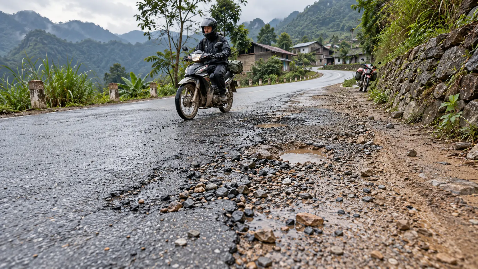
The descent from Ma Pi Leng Pass toward Yen Minh includes approximately 40km of winding mountain road with mixed surface conditions. Sections resurfaced in recent years offer smooth pavement, while other stretches contain potholes, gravel patches, and deteriorated edges requiring constant attention. During dry season (October-April), these roads remain generally navigable at 40-50 km/h average speeds, while wet conditions reduce safe speeds to 25-30 km/h.
Riders should allocate 5-6 hours minimum for the full Day 3 route under good conditions, including Ma Pi Leng Pass, viewpoint stops, and the return journey. Poor weather or road conditions can extend this to 7-8 hours, while mechanical issues or excessive photography stops may require even longer. The variable nature of mountain conditions makes flexible scheduling essential riders should have contingency plans for late arrival or overnight accommodation in Yen Minh if significant delays occur.
Estimated Arrival Time Back to Ha Giang City
Under typical conditions with a 7:00 AM departure from Meo Vac, riders following the standard Du Gia route can expect to reach Ha Giang City between 1:00-3:00 PM. This timeline assumes 45-60 minutes at Ma Pi Leng viewpoints, a 30-minute lunch stop, and average riding speeds of 35-40 km/h on mountain sections.
Guided tour groups typically target 2:00-3:00 PM arrivals to accommodate varied riding abilities and mandatory rest stops. Independent riders with strong skills and minimal stops can arrive as early as noon, while those prioritizing photography, extended breaks, or facing challenging conditions may not reach Ha Giang City until 4:00-5:00 PM.
The final 60km from Tam Son to Ha Giang City utilizes improved QL4C highway with smooth pavement and gentle grades, allowing faster average speeds of 50-60 km/h. This section serves as a buffer for time lost in the mountains riders running behind schedule can make up 30-60 minutes on this easier road segment.
Travelers with evening buses or flights from Hanoi should build substantial time cushions, as mechanical issues, weather delays, or unexpected road closures can extend Day 3 by several hours. Most sources recommend not scheduling Hanoi-bound transportation earlier than 6:00 PM to avoid missing connections due to Ha Giang Loop delays.
Final Fuel and Rest Stop Recommendations
Strategic fuel and rest planning prevents Day 3 complications, as service availability varies dramatically by route section. Riders should depart Meo Vac with full tanks, as the next reliable fuel station appears in Yen Minh approximately 80-90km distant depending on route choice. Small roadside fuel vendors exist along Ma Pi Leng Pass but offer uncertain quality and availability these should serve only as emergency options rather than planned refueling points.
Yen Minh provides the primary midpoint stop with multiple fuel stations, restaurants, and basic repair services. This town sits roughly 60% through the Day 3 route, making it the logical location for lunch and bicycle checks. The fuel station cluster near the town center (identifiable by Petrolimex signage) offers reliable quality and typically maintains stock even during busy travel periods. Riders should refuel in Yen Minh regardless of tank level, as the final 60km to Ha Giang City, while fuel-available, can experience occasional station closures.
Rest stop recommendations emphasize safety over speed. Riders should take 5-10 minute breaks every 40-50km to prevent fatigue-related accidents on technical mountain roads. Natural rest points include the Nho Que viewpoint, a roadside restaurant cluster near Yen Minh entrance, and a scenic overlook approximately 20km before Ha Giang City where riders can capture final loop photographs.
Water and snack supplies should be replenished at each major stop, as dehydration and low blood sugar significantly impair riding judgment and reaction times. The combination of high altitude, physical exertion from motorcycle control, and potential heat exposure requires consuming 2-3 liters of water across the Day 3 journey. Small roadside stalls throughout the route offer fresh fruit, packaged snacks, and beverages at reasonable prices supporting these local vendors while maintaining energy levels.
The Ha Giang Loop typically covers 350-450 kilometers total distance over three days, though exact distances vary depending on chosen route variations and detours. Day 1 from Ha Giang City to Yen Minh (via Quan Ba) covers approximately 120-140km, Day 2 from Yen Minh to Meo Vac (via Dong Van) spans roughly 140-160km, and Day 3 returning to Ha Giang City ranges from 150-180km depending on the chosen return route.
Riding Speed Expectations
Mountain road conditions dictate conservative speed estimates. Riders should expect average speeds of 25-35km/h on winding mountain roads, significantly slower than typical highway speeds. The narrow, curved roads with steep inclines and hairpin bends require careful navigation, making it unrealistic to maintain higher speeds safely. Total riding time excluding stops typically ranges from 4-6 hours per day.
Road Surface Conditions
The Ha Giang Loop features mixed road surfaces. The primary QL4C highway and major segments are paved asphalt in generally good condition. However, unpaved stretches exist on certain sections, particularly on alternative routes and rural detours. Sections have been increasingly improved with paved surfaces, though some side roads and less-traveled segments remain gravel or dirt, especially after weather events.
Seasonal Road Considerations
Vietnam's rainy season from May to September significantly impacts road conditions. Heavy rainfall can cause landslides, muddy unpaved sections, and reduced visibility on mountain passes. The dry season (October-April) offers more stable road conditions, though morning fog can still affect visibility at higher elevations. Roads may be slippery and more challenging during and immediately after rain.
Daily Departure Timing
Early morning departures between 7-8am are strongly recommended. Starting early allows riders to complete major climbs and challenging sections during cooler morning hours, avoid midday heat, and arrive at accommodations with adequate daylight. Early starts also provide flexibility for unexpected delays or extended photo opportunities without riding after dark.
Easy Rider Consistency: Our guides maintain strict timing discipline departing early every morning without exception, regardless of weather. This consistency across thousands of runs creates the safest travel environment. Independent riders often sleep longer or delay decisions based on daily conditions; our systematic approach compounds safety margins across all route sections.
Buffer Time Planning
Build substantial buffer time into daily schedules beyond pure riding hours. We recommend allocating 2-3 hours total for photo stops at scenic viewpoints like Ma Pi Leng Pass and Quan Ba Heaven Gate, 1.5-2 hours for meals (typically one lunch stop plus snack breaks), and 30-60 minutes for rest breaks. This means a 5-hour riding day becomes an 8-10 hour total journey when accounting for stops.
Navigation and Map Requirements
GPS and offline mapping capability is essential. Mobile data coverage is unreliable or nonexistent in remote mountain areas between towns. Riders should download offline maps via Google Maps or Maps.me before departing Ha Giang City. We recommend downloading the complete Ha Giang Loop route offline and carrying physical backup maps, as GPS devices may lose satellite signal in deep valleys or during heavy cloud cover.
Practical Tips for the 3-Day Loop
Completing the Ha Giang Loop in three days requires careful planning and preparation. Understanding your transportation options, documentation requirements, and logistics will help ensure a smooth and safe journey through northern Vietnam's mountainous terrain.
Motorbike Rental vs Easy Rider Options
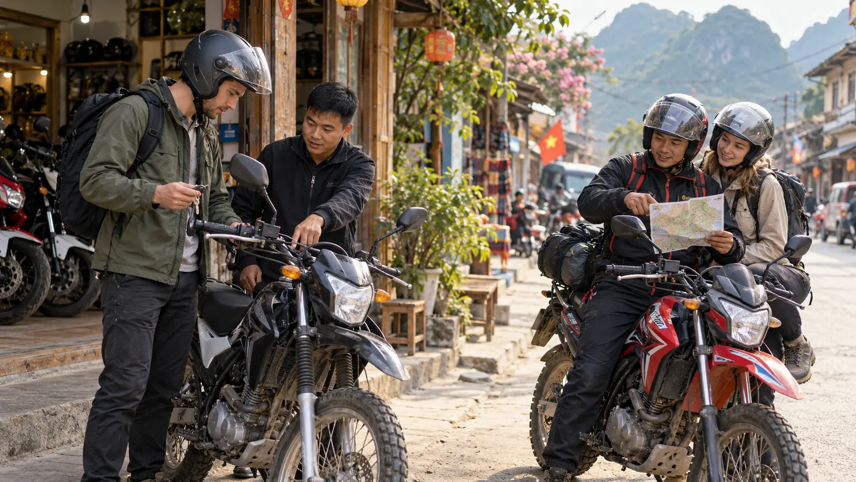
Travelers have two primary options for tackling the Ha Giang Loop: self-driving a rented motorbike or hiring an Easy Rider guide. Renting a motorbike gives you complete freedom and flexibility to stop wherever you want and travel at your own pace. Most rental shops in Ha Giang City offer semi-automatic bikes (110cc-150cc) suitable for the mountainous roads, with daily rates typically ranging from 150,000 to 250,000 VND depending on bike condition and model. Easy Rider services pair you with an experienced local driver who navigates the challenging roads while you ride as a passenger. This option is particularly valuable for those without mountain riding experience, as the routes include steep passes, sharp hairpin turns, and unpredictable road conditions. Easy Riders also provide cultural insights and local knowledge that enhance the journey. Our 3-day Ha Giang Loop Easy Rider package is priced at $189 USD per rider all-inclusive (homestays, meals, boat cruise, Skywalk access), representing exceptional value when you factor in independent rental costs, accommodation, and meals totaling $200-300 for self-guided trips.
Comparison Summary:
Self-Riding: Maximum flexibility, but requires strong mountain skills, full responsibility for navigation/safety, potential higher total costs ($250-350), higher accident risk
Easy Rider: Professional driver handles technical sections, included accommodation/meals, cultural guidance, $189 3-day package, significantly safer for inexperienced riders
Extended Easy Rider Options: Our 4-day signature journey ($249) includes additional time for villages and photography; 5-day slow adventure ($299) adds waterfall swims and deeper cultural immersion
Required Documents and Legal Considerations
Operating a motorbike in Vietnam requires proper documentation. Foreign travelers must present their passport for rental agreements, but legal operation requires either a Vietnamese driving permit or an International Driving Permit (IDP). Riding without proper permits can result in fines, confiscated bikes, and complications if accidents occur. Many rental shops will rent bikes without checking permits, but this doesn't eliminate legal requirements or liability issues.
Your IDP must specifically include the motorcycle category and be accompanied by your home country's valid driver's license. Police checkpoints are common along the Ha Giang Loop, particularly near Dong Van and Meo Vac, where documentation is regularly verified.
Fuel Availability and Tank Capacity Planning
Petrol stations are strategically located in major towns along the route including Ha Giang City, Quan Ba, Yen Minh, Dong Van, and Meo Vac. However, distances between these stations can exceed 50-70 kilometers through mountainous terrain where fuel consumption increases significantly due to elevation changes and winding roads.
Most rental bikes have 4-6 liter fuel tanks with average consumption of 2.5-3.5 liters per 100km in mountain conditions. Riders should refuel whenever reaching a town rather than waiting for the tank to run low. Small roadside vendors selling petrol in glass bottles appear between towns, but fuel quality can be questionable and prices inflated. Always fill up at established stations when possible and consider carrying a small reserve bottle for emergency situations.
Accommodation Booking Strategy
The accommodation approach depends on travel season and flexibility preferences. During peak season (September through November and March through May), advance booking for Dong Van and Meo Vac is highly recommended as quality homestays and hotels fill quickly. Popular homestays in Dong Van can be fully booked weeks in advance during autumn months when weather conditions are optimal.
Walk-in options remain viable during low season (December through February and June through August) and in larger towns like Quan Ba and Yen Minh where accommodation supply exceeds demand. Most homestays charge 100,000-200,000 VND per person per night including dinner and breakfast. Having a backup list of accommodation options for each stop provides security while maintaining flexibility to adjust your itinerary based on weather or personal pace.
Why Easy Rider Homestays: Our network homestays are pre-booked and reserved exclusively for our groups. No stress, no availability concerns, no negotiating rates. Rooms are held, dinners are prepared, and you arrive to families expecting you. This eliminates the uncertainty independent travelers face during peak season when quality accommodations fill days in advance.
Weather Preparation and Clothing Layers
Ha Giang's mountain climate varies dramatically with elevation and time of day. Temperatures can range from 8°C at dawn in high passes to 28°C in valleys during afternoon. Proper layering is essential as you'll ascend to over 1,500 meters at Ma Pi Leng Pass where temperatures drop significantly.
Essential clothing includes a windproof and waterproof jacket, long pants for sun protection and safety, gloves for cold morning rides, and a buff or scarf for dust protection. Even during dry season, sudden rain showers occur in mountains, making waterproof gear non-negotiable. Temperatures at night in homestays can be cold, particularly in winter months when heating is limited. Pack a warm layer for evenings as most traditional homestays have minimal heating infrastructure.
Food and Water Availability
Food availability varies significantly between major towns and remote mountain sections. Ha Giang City, Quan Ba, Yen Minh, Dong Van, and Meo Vac offer multiple restaurant options serving Vietnamese staples like pho, com (rice dishes), and banh mi. However, between these towns, food options become sparse with only occasional roadside stalls selling basic snacks and instant noodles.
Plan your meals around town stops and don't expect to find restaurants during mid-route sections. Most homestays include dinner and breakfast in their rates, which solves evening meal planning. Carry snacks like nuts, dried fruit, or energy bars for between-meal energy needs.
Water availability is generally good in towns where bottled water costs 10,000-15,000 VND. Always carry at least 1-1.5 liters of water on the bike, as dehydration occurs quickly during long riding days. Refill opportunities exist at roadside stops, but don't rely on finding them at convenient intervals. Tap water should not be consumed without treatment.
Emergency Contacts and Medical Facilities
Medical infrastructure in Ha Giang province is limited compared to major Vietnamese cities. Ha Giang City has the most comprehensive medical facilities including Ha Giang General Hospital. District health centers exist in Quan Ba, Yen Minh, Dong Van, and Meo Vac, but capabilities are basic and staff may have limited English proficiency.
Critical emergency numbers include 115 for ambulance services and 113 for police. However, emergency response times in remote areas can be several hours. Most homestay and hotel owners can assist with arranging local medical care or transportation to facilities if needed. Keep your accommodation's contact information accessible, as they serve as your most immediate resource for local assistance.
Travel insurance covering motorbike accidents and emergency evacuation is essential, as serious injuries may require transport to Hanoi (approximately 6 hours by car) for adequate treatment. Carry a basic first aid kit including bandages, antiseptic, pain relievers, and any personal medications with sufficient quantity for your trip duration plus extra days.
Easy Rider Safety Network: Our guides carry first aid kits, maintain direct relationships with district health centers, and coordinate emergency response. We've handled everything from minor scrapes to serious situations requiring evacuation. Having professional support dramatically improves outcomes in medical emergencies.
Common Mistakes to Avoid
First-time Ha Giang Loop riders frequently underestimate the physical and mental demands of mountain riding. Attempting the loop without prior motorbike experience, particularly on mountain roads, leads to accidents, exhaustion, and abandoned trips. If you lack riding experience, Easy Rider services or guided tours are safer choices than learning to ride in Ha Giang's challenging conditions.
Overambitious daily distances represent another common error. While 3-day itineraries are popular, rushing through sections to meet timelines reduces safety margins and eliminates opportunities to appreciate scenery and culture. Build buffer time into each day's plan rather than calculating minimum riding times.
Inadequate sun protection causes significant discomfort for many riders. Even overcast days deliver intense UV exposure at high elevations, leading to severe sunburn on faces, necks, and hands. Apply high-SPF sunscreen regularly and wear protective clothing despite warm temperatures.
Riding after dark is particularly dangerous and should be avoided. Mountain roads lack adequate lighting, animals wander onto roads, and visibility drops dramatically. Plan daily routes to ensure arrival at accommodations with daylight remaining. If delays occur, consider stopping earlier rather than pushing through darkness.
Finally, many travelers neglect bike condition checks before departing. Inspect brakes, tires, lights, and horn functionality before leaving the rental shop. Take photos documenting existing damage to avoid disputes upon return. Test ride the bike around Ha Giang City to ensure comfort and mechanical soundness before committing to mountain routes.
Decision Framework: If you're reading this and recognizing yourself in these common mistakes or worrying you might make them an Easy Rider experience eliminates the risk. Professional guides have navigated these challenges thousands of times. You experience the adventure without the danger-zone decisions that plague independent travelers.
Trieu Thi Mai
Ha Giang Local Expert
Local mountain guide and native culture specialist at Ha Giang Easy Rider Tour.
EASY ONLINE BOOKING
Reserve Your Ha Giang Tour
No upfront deposit required. Our team will verify your Hanoi pickup details via WhatsApp.