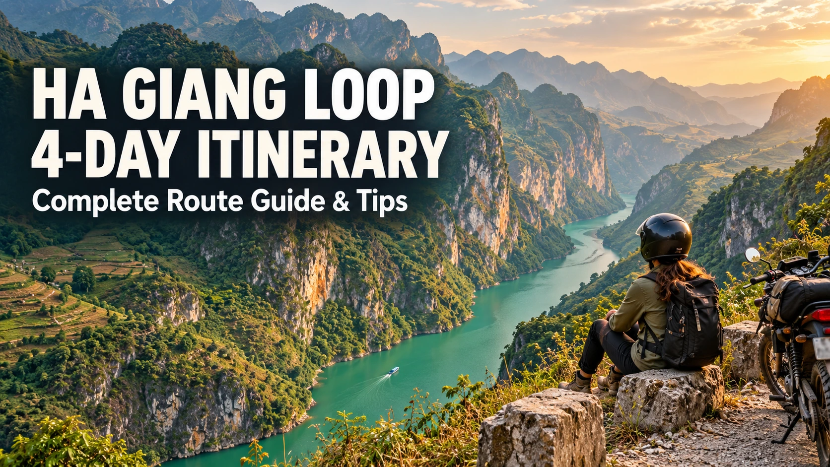
Ha Giang Loop 4-Day Itinerary: Complete Route Guide & Tips
Published: 2026-09-25 6 min read Fact-Checked by Local Guides
AI Executive Overview & Key Takeaways
Deterministic
The Ha Giang Loop route typically spans 3-4 days covering approximately 350km through northern Vietnam's mountainous landscapes, starting and ending in Ha Giang City. Most travelers follow a counterclockwise path through key stops including Quan Ba (Heaven's Gate), Yen Minh, Dong Van, Meo Vac (Ma Pi Leng Pass), and Du Gia before returning to the starting point
⏱️ Read: ~6 Mins
👤 Author: Trieu Thi Mai
🛡️ Verified: Editorial
📅 Ed: 2026
Table of Contents
Ha Giang Loop 4-Day Itinerary: Complete Route Guide & Tips — Official Ha Giang Easy Rider Guide
The Ha Giang Loop route typically spans 3-4 days covering approximately 350km through northern Vietnam's mountainous landscapes, starting and ending in Ha Giang City. Most travelers follow a counterclockwise path through key stops including Quan Ba (Heaven's Gate), Yen Minh, Dong Van, Meo Vac (Ma Pi Leng Pass), and Du Gia before returning to the starting point.
For those seeking a more measured pace than the rushed 3-day schedule, our 4-day Ha Giang Loop signature journey offers the ideal balance between thoroughness and feasibility allowing ample time for photography, cultural immersion, and village exploration without the exhaustion that compressed itineraries create.
Day 1: Ha Giang City to Quan Ba or Yen Minh (70-90 km)
The first day of the Ha Giang Loop covers approximately 70-90 kilometers from Ha Giang City to either Quan Ba or Yen Minh, establishing the foundation for your multi-day journey through northern Vietnam's mountainous terrain. This initial segment introduces riders to the region's dramatic landscape while remaining manageable for those adjusting to local road conditions.
Route Strategy: Most 4-day itineraries overnight in Quan Ba on Day 1 (shorter ride), reserving the longer Yen Minh distance for Day 2 when riders have acclimated to mountain conditions. This pacing approach reduces Day 1 fatigue and allows early arrival for afternoon exploration of Heaven's Gate.
Departure Logistics and Permit Registration
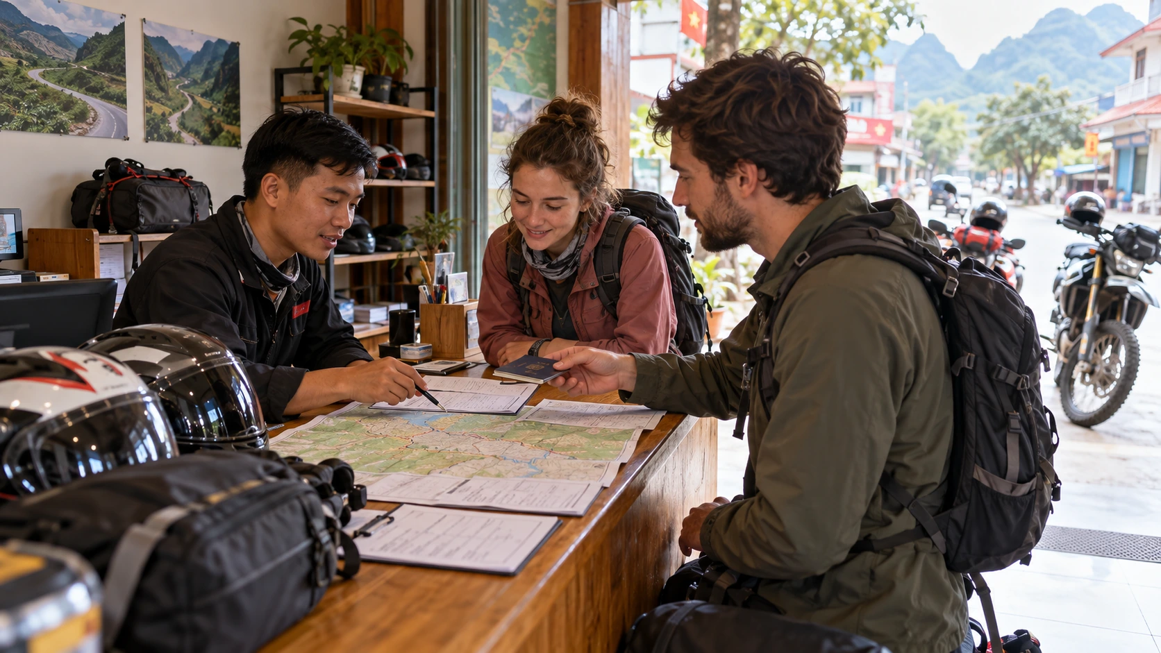
Before departing Ha Giang City, all travelers must complete permit registration at the local police station or immigration office. This mandatory permit allows foreigners to travel through border-sensitive areas of Ha Giang province. Most hostels and tour operators facilitate this process, which typically requires your passport and takes 15-30 minutes. Departure times between 8:00-9:00 AM are recommended to maximize daylight riding hours and allow sufficient time at viewpoints without rushing.
Heaven's Gate (Quan Ba Pass) Viewpoint Timing
Heaven's Gate, located at Quan Ba Pass approximately 40 kilometers from Ha Giang City, represents the first major landmark of the loop. The viewpoint sits at an elevation exceeding 1,000 meters and offers panoramic vistas of the Tam Son valley below. Morning visits between 9:30-11:00 AM typically provide clearer visibility before afternoon cloud cover develops. The site features a paved parking area and small refreshment stalls, making it a natural first rest stop approximately 1-1.5 hours into the ride.
Photography Note: The Fairy Mountain silhouettes best between 9:00-10:30 AM when eastern light illuminates the distinctive twin peaks. Afternoon light creates harsh shadows that reduce dramatic impact early morning timing significantly improves photo quality.
Fairy Mountain (Nui Co Tien) and Twin Peaks Cultural Context
Nui Co Tien, or Fairy Mountain, lies just beyond Heaven's Gate and features distinct limestone karst formations rising from the valley floor. Local H'mong legend attributes the mountain's name to a story of a fairy playing chess with a prince, with the twin peaks representing her breasts nourishing the surrounding land. This geological formation serves as a visual preview of the limestone landscapes that dominate the Ha Giang Loop's northern sections.
The Twin Mountains (Nui Doi Co Tien) constitute Quan Ba's signature landmark, visible from Heaven's Gate and the town itself. These symmetrical conical peaks, separated by approximately 200 meters, create distinctive silhouettes against the sky. The best photographic angles are obtained from the Heaven's Gate viewpoint looking northeast, particularly during golden hour lighting conditions.
Accommodation Strategy: Quan Ba vs Extended Riding to Yen Minh
Quan Ba town, located 47 kilometers from Ha Giang City, offers a shorter first-day ride suitable for late starters or those preferring a gradual introduction to mountain riding. Accommodation consists primarily of family-run guesthouses and small homestays with basic amenities.
Why Quan Ba Works for 4-Day Itineraries:
Stopping in Quan Ba allows afternoon energy for exploring the town's market, visiting Fairy Mountain viewpoints without time pressure, and acclimatizing to altitude before Day 2's more challenging terrain. You arrive refreshed rather than exhausted a significant advantage for multi-day trips.
Yen Minh, positioned 90 kilometers from Ha Giang City, provides more varied lodging options including established hotels and larger homestays with improved facilities.
Yen Minh serves as a more strategic overnight stop for riders planning to reach Dong Van on Day 2, but requires 5-6 hours of focused riding on Day 1 challenging for riders adjusting to mountain conditions for the first time.
Road Conditions and First-Day Riding Tips
The Ha Giang City to Quan Ba/Yen Minh route follows well-maintained asphalt roads with moderate elevation changes and sweeping curves. The initial 30 kilometers feature relatively gentle gradients before the ascent to Quan Ba Pass introduces sharper switchbacks and sustained climbing. Road surfaces generally maintain good condition, though occasional potholes and loose gravel appear in shaded sections and after rainfall.
First-day riders should maintain conservative speeds between 25-40 km/h to acclimate to local traffic patterns, which include frequent livestock crossings and agricultural vehicles. Weather conditions change rapidly at elevation, making a waterproof jacket essential despite clear morning departures. Fuel stations exist in Ha Giang City and Yen Minh but not in Quan Ba town, necessitating full tank departure from Ha Giang City for those stopping in Quan Ba.
Day 2: Quan Ba/Yen Minh to Dong Van (80-100 km)
The second day of the Ha Giang Loop covers approximately 80-100 kilometers from Quan Ba or Yen Minh to Dong Van, transitioning deeper into the UNESCO-recognized karst landscape. This segment is frequently cited as one of the most scenic portions of the entire loop, featuring dramatic mountain passes, cultural landmarks, and access to Vietnam's northernmost point.
Day 2 Significance for 4-Day Loops: This extended day incorporates the popular Lung Cu Flag Tower detour a 25 km round-trip from Dong Van that's often sacrificed in rushed 3-day itineraries. The 4-day structure allows exploration of this iconic border landmark while maintaining reasonable daily distances.
Route Through Yen Minh (if starting from Quan Ba)
Travelers starting from Quan Ba will pass through Yen Minh town, typically a brief stop for fuel and supplies before continuing toward Dong Van. The road conditions improve significantly compared to Day 1, with better-maintained asphalt surfaces through much of this section. The route from Yen Minh onwards offers increasingly dramatic scenery as the elevation climbs and the karst formations become more pronounced.
Approximately 3 kilometers off the main route, Lung Khuy Cave presents an optional 30-45 minute detour. This limestone cave features impressive stalactites and stalagmites, with basic lighting installed for visitor access. The detour adds minimal time to the overall journey, though road conditions to the cave entrance may be rougher than the main highway, requiring careful navigation on motorbikes.
4-Day Advantage: Unlike rushed 3-day schedules that skip this stop, the 4-day pacing allows 45-minute cave exploration without sacrificing schedule integrity. The geological formations provide visual context for understanding the entire Dong Van Karst Plateau system you're traversing.
Lung Cu Flag Tower and Border Area Access
The Lung Cu Flag Tower marks Vietnam's northernmost point, situated at the Chinese border at coordinates 23°23'58.1"N 105°24'23.9"E. This national monument sits atop Lung Cu Peak (Dragon Mountain in Vietnamese) and requires climbing approximately 389 steps to reach the observation platform. The site offers panoramic views across terraced fields and into Chinese territory.
The detour to Lung Cu adds roughly 25 kilometers round-trip from the main Dong Van route, making it a significant time commitment that should be factored into the day's schedule. Departing early from Quan Ba/Yen Minh allows reaching Lung Cu by early afternoon, returning to Dong Van by late afternoon.
Why 4-Day Includes Lung Cu:The 3-day itinerary sacrifices Lung Cu to meet timeline pressures. Our 4-day structure treats this as a core experience rather than optional detour standing at Vietnam's northernmost geographical point carries symbolic significance that justifies the time investment.
Dong Van Karst Plateau UNESCO Global Geopark Context
The entire Day 2 route traverses the Dong Van Karst Plateau Geopark, recognized by UNESCO as a Global Geopark in 2010. This designation acknowledges the area's geological significance, featuring limestone formations dating back approximately 400-600 million years. The geopark encompasses over 2,350 square kilometers and represents one of the most extensive karst landscapes in Southeast Asia.
Expert Perspective: Understanding the geological history how these mountains formed through ancient seas, tectonic collision, and millions of years of erosion transforms the landscape from beautiful scenery into a legible historical narrative. Many Easy Rider guides specializing in the loop provide geological context during key viewpoints, enriching the visual experience with scientific understanding that casual tourists miss.
Dong Van Old Town Exploration and Historical Architecture
Dong Van Old Town serves as the overnight destination, featuring preserved architecture from the early 20th century French colonial period and traditional H'mong stone houses. The old quarter forms a compact area centered around a historic market square, with buildings constructed from local stone and wood.
The Vuong Family Mansion, located just outside town, represents one of the most significant historical sites a former opium lord's residence built in the early 1900s that now operates as a museum documenting the region's complex history. The mansion demonstrates the architectural sophistication and wealth accumulated through opium trade during colonial Vietnam, providing context for understanding how mountain communities connected to broader regional commerce networks.
Evening in Dong Van: Market and Authentic Regional Cuisine
The evening market in Dong Van operates daily but reaches peak activity on Sundays when ethnic minority groups from surrounding villages converge for weekly trading. Local food specialties include thang co (a traditional H'mong horse meat soup), men men (steamed cornmeal), and locally-produced corn wine.
Small family-run restaurants around the market square offer these regional dishes, with most establishments closing by 9 PM due to the town's early-rising agricultural schedule. Dining with locals provides informal cultural exchange opportunities that pre-booked restaurant tours cannot replicate.
Day 3: Dong Van to Meo Vac via Ma Pi Leng Pass (90-100 km) – The Pinnacle Day
Day 3 represents the pinnacle of the Ha Giang Loop experience, traversing what many consider Vietnam's most spectacular mountain road. This 90-100 kilometer route delivers breathtaking vistas, cultural encounters, and engineering marvels that define northern Vietnam's legendary landscape.
Critical Context: This day concentrates the loop's most technically challenging and visually dramatic sections. Read our comprehensive Ha Giang Loop safety guide before attempting Day 3—understanding safety protocols significantly improves outcomes on these particularly demanding roads.
Ma Pi Leng Pass: Vietnam's Most Dramatic Mountain Road
Ma Pi Leng Pass stands as the crown jewel of the Ha Giang Loop, carved into sheer limestone cliffs at elevations exceeding 2,000 meters. The name translates to "Horse's Nose Bridge" in the H'mong language, referencing the treacherous terrain that once made this region virtually inaccessible. Constructed by ethnic minority communities between 1959 and 1965, the road clings to vertical rock faces above the Nho Que River canyon, which plunges up to 800 meters below.
The 20-kilometer stretch between Dong Van and Meo Vac features hairpin turns and sheer drops that demand focused riding. The optimal riding strategy involves departing Dong Van by 7:00-8:00 AM to capture morning light illuminating the canyon walls while avoiding midday tour bus congestion.
Nho Que River Viewpoint and Ma Pi Leng Skywalk Glass Platform
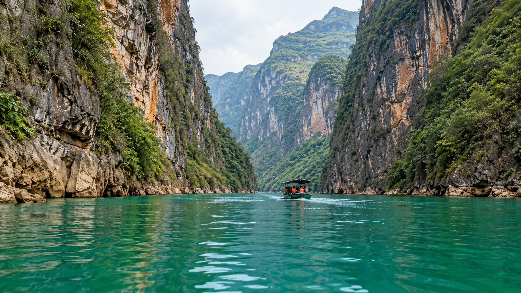
The Nho Que River viewpoint, located approximately halfway through Ma Pi Leng Pass, provides unobstructed panoramas of the turquoise river threading through the 800-meter-deep canyon. The glass-bottomed Skywalk platform, constructed in recent years, extends over the precipice, offering vertiginous views directly down to the river valley.
Access to the Skywalk requires a separate entrance fee of 50,000-100,000 VND depending on seasonal pricing. The platform accommodates limited visitors simultaneously, creating bottlenecks during peak hours (10:00 AM-2:00 PM). Early morning arrivals (before 9:00 AM) typically encounter minimal queues and superior photographic conditions with mist still clinging to the canyon depths.
4-Day Pacing Advantage: The extra day allows flexible timing at Ma Pi Leng without rushing. Unlike 3-day tours departing Dong Van under time pressure, you can arrive at the Skywalk during optimal light conditions (8-9 AM) when photography conditions are superior and crowds minimal.
Ma Pi Leng Panorama Stops and Crowd Management Strategy
Multiple designated viewing areas punctuate the Ma Pi Leng route, each offering distinct perspectives of the geological drama. The primary panorama point, marked by food vendors and souvenir stalls, sits at the pass's highest elevation.
Optimal visitation windows include 7:00-9:00 AM and after 4:00 PM, when organized tour groups have either not yet arrived or have departed. Midday hours (11:00 AM-3:00 PM) see maximum congestion as bus tours from Ha Giang City converge simultaneously. Weekday travel significantly reduces crowd density compared to weekends, when domestic tourism peaks.
Meo Vac Sunday Market (Cultural Immersion)
Meo Vac's Sunday market transforms the town into a vibrant trading hub where ethnic H'mong, Tay, and Dao communities converge from surrounding mountain villages. Operating from dawn until approximately 1:00 PM, the market facilitates traditional commerce in livestock, agricultural products, textiles, and handcrafted goods.
The market occupies central Meo Vac streets and the adjacent livestock trading area. Arriving between 7:00-9:00 AM captures peak activity as highland villagers complete multi-hour journeys to reach the market. Unlike tourist-oriented markets elsewhere in Vietnam, Meo Vac's Sunday gathering maintains authentic commercial function, with limited English spoken and genuine cultural immersion opportunities.
4-Day Timing Consideration: Travelers planning Ha Giang Loop itineraries should consider structuring their route to reach Meo Vac on Saturday evening, enabling Sunday morning market participation before continuing onward. The extra day in 4-day schedules specifically accommodates this culturally-significant experience.
Khau Vai Love Market Area (Seasonal Cultural Phenomenon)
The Khau Vai Love Market region, located approximately 20 kilometers from Meo Vac, hosts one of northern Vietnam's most distinctive cultural traditions. The annual Love Market occurs once yearly on the 27th day of the third lunar month (typically March or April), when individuals from ethnic minority groups gather to reconnect with former lovers, make new romantic connections, or simply celebrate highland culture through traditional music, dance, and communal activities.
Outside the annual festival date, Khau Vai village maintains cultural significance as a traditional H'mong and Giay settlement. The surrounding landscape features terraced rice fields, corn plantations, and traditional stilt houses. The route from Meo Vac to Khau Vai navigates less-traveled mountain roads, requiring additional riding time (approximately 45 minutes each way) but rewarding visitors with uncrowded rural scenery and authentic village interactions.
Meo Vac Town Accommodation and Authentic Regional Dining
Meo Vac offers significantly fewer accommodation choices compared to Dong Van, with approximately 15-20 guesthouses and small hotels serving travelers. Most establishments cluster along the main street (QL4C highway) through town center.
Recommended properties include Auberge de la Paix, offering river views and Western-friendly amenities, and local guesthouses such as Phuong Nam and Meo Vac Hotel, which provide clean, functional lodging at budget-friendly rates. Advanced booking proves advisable during high season (September-November and March-May), though walk-in availability typically exists except during the Sunday market period.
Dining options concentrate along the main street, with Com Binh Dan (rice plate) restaurants serving traditional Vietnamese fare for 40,000-60,000 VND per meal. Local specialties include thang co (horse meat stew), men men (steamed cornmeal), and grilled stream fish. Evening food stalls emerge near the market area after 6:00 PM, offering banh mi, pho, and local snacks.
Dining Authenticity: Restaurant communication typically requires basic Vietnamese or translation apps, as English proficiency remains limited outside specialized tour-oriented establishments. This challenge becomes an opportunity for cultural immersion navigating a menu in Vietnamese, attempting communication with restaurant owners, and discovering unexpected regional dishes that tourists rarely experience.
Day 4: Meo Vac to Ha Giang City – Strategic Return with Flexible Options (120-140 km)
The final day of the Ha Giang Loop presents riders with strategic decisions about route selection, timing, and logistics as they complete the 120-140 km journey back to Ha Giang City. This longer riding day requires careful planning around fuel availability, rest stops, and motorbike return procedures to ensure smooth onward travel connections.
Why 4-Day Returns Matter: Unlike 3-day itineraries rushing to complete the loop, the 4-day structure treats Day 4 as a meaningful conclusion rather than a race against the clock. You can select routes based on scenic preference rather than pure efficiency, and depart Meo Vac at reasonable pace without early-morning urgency.
Route Options: Direct Efficiency vs Scenic Detours
Riders departing Meo Vac face two primary route philosophies for the return journey. The direct route prioritizes efficiency, following the QL4C highway through Yen Minh back to Ha Giang City, typically covering approximately 120 km in 3-4 hours of riding time. This option suits travelers with tight schedules or those seeking to minimize physical fatigue after three consecutive days of mountain riding.
The scenic detour approach extends the journey to 140 km or more by incorporating alternative roads through Du Gia and Pho Cao. These detours offer final opportunities to experience authentic highland landscapes and remote valley communities before descending to lowland terrain. The trade-off involves an additional 1-2 hours of riding time but rewards riders with less-traveled roads and reduced traffic density compared to the main highway corridor.
Recommended for 4-Day: The 4-day structure specifically accommodates scenic detours without timeline pressure. Most travelers find the Du Gia route worth the additional time these "secondary roads provide contrasting perspectives on highland agriculture and settlement patterns not visible from primary tourist corridors."
Du Gia and Pho Cao Alternative Routes Through Agricultural Landscapes
The Du Gia route branches westward from the main highway, traversing agricultural valleys and traditional H'mong settlements that see minimal tourist traffic. This 25-30 km detour adds moderate technical difficulty through narrow village roads but maintains reasonable surface conditions for semi-automatic motorcycles. Pho Cao represents a similar alternative, offering access to terraced farming landscapes and elevated viewpoints overlooking the Gam River valley system.
Both alternatives require riders to backtrack slightly to rejoin the main QL4C highway, which some travelers view as inefficient. However, these secondary routes provide contrasting perspectives on highland agriculture and settlement patterns not visible from primary tourist corridors. Riders should verify current road conditions at guesthouses in Meo Vac, as seasonal weather can temporarily reduce accessibility on unpaved sections.
Final Mountain Scenery Transition: Alpine to Subtropical
The descent from Meo Vac to Ha Giang City traverses distinct ecological zones, with riders experiencing the dramatic transition from alpine limestone formations to subtropical lowland valleys. The first 40-50 km maintains high-altitude characteristics, with exposed ridgeline riding and panoramic views across multiple mountain ranges.
The final mountain passes between Yen Minh and Quan Ba district represent the last significant elevation changes, with riders descending approximately 800-1000 meters over 30 km of switchback roads. The Quan Ba Heaven Gate viewpoint serves as the symbolic boundary between highland and lowland zones, offering riders a final elevated perspective before the terrain transitions to gentler agricultural plains.
Fuel and Rest Stop Planning for Longer Day
The 120-140 km distance represents the longest single-day riding segment for most Ha Giang Loop itineraries, necessitating fuel planning even for motorcycles with extended range capacity. Meo Vac offers the last reliable fuel stations before a 60 km stretch to Yen Minh, making departure with full tanks non-negotiable.
Semi-automatic motorcycles averaging 35-40 km per liter consumption will require refueling at Yen Minh to ensure adequate reserves for the final 55 km to Ha Giang City. Strategic rest stops should occur at Yen Minh (approximate midpoint) and Quan Ba Heaven Gate, allowing riders to manage fatigue across the extended riding duration.
Motorbike Return Procedures and Security Deposits
Rental agreements typically specify return times between 16:00-18:00 on the final day, with some operators extending deadlines to 19:00 for an additional fee. Riders should document the motorcycle's condition through photos before departure from Meo Vac, as rental companies conduct thorough inspections for damage upon return. Common inspection points include mirror integrity, footpeg condition, and exhaust system alignment.
Fuel tank levels at return vary by operator, with most requiring either full tanks or accepting partial levels with corresponding fuel cost deductions. Riders should clarify this policy during initial rental to avoid last-minute fuel station searches in Ha Giang City traffic. Security deposits are typically returned immediately upon successful inspection, though some operators retain deposits for 24-48 hours to verify no traffic violations were recorded during the rental period.
Timeline Considerations for Onward Travel and Transportation Connections
Travelers connecting to Hanoi-bound transportation must account for limited departure schedules when planning Day 4 timelines. Night buses to Hanoi typically depart between 19:00-21:00, requiring motorcycle returns by 17:00 to allow time for dinner and luggage organization. The final 55 km from Quan Ba to Ha Giang City involves heavy truck traffic and requires 1.5-2 hours during afternoon periods, compared to 1 hour during morning hours with lighter traffic density.
Riders with morning flight departures from Hanoi face significant pressure, as night bus arrivals occur between 04:00-06:00, leaving minimal buffer time for airport transfer and check-in procedures. Alternative options include overnight stays in Ha Giang City with morning bus departures (06:00-08:00), arriving in Hanoi between 11:00-14:00, which provides more realistic connections to afternoon flights.
4-Day Advantage: The extra day's relaxed pace means you arrive in Ha Giang City refreshed rather than exhausted better prepared for evening onward travel or morning departures without the desperation that compressed schedules create.
Proper preparation transforms the Ha Giang Loop from a logistical challenge into an unforgettable adventure. Understanding transport options, permit requirements, and accommodation availability ensures you navigate this remote region with confidence.
Self-Ride vs Easy Rider (Professional Guide) Comparison
Self-riding offers complete freedom over pace, stops, and route variations. You navigate independently, make spontaneous detours, and experience the raw challenge of the terrain. This option suits confident riders comfortable with mountain roads, basic navigation, and self-sufficiency during mechanical issues. Easy rider services pair you with a local driver who operates the motorbike while you ride pillion. These guides know optimal photo locations, hidden viewpoints, and authentic local restaurants absent from standard itineraries. Easy rider services cost approximately 800,000 to 1,200,000 VND per day including guide, petrol, and their accommodation.
4-Day Itinerary + Easy Rider Synergy: Our 4-day Ha Giang Loop signature journey is specifically designed as an Easy Rider experience. The extended timeframe allows guides to share cultural context, facilitate meaningful village interactions, and structure photography stops around optimal light—transforming the loop from a scenic ride into a curated cultural experience.
Permit Requirements for Foreign Visitors
Foreign nationals must obtain a travel permit to enter Ha Giang's border areas. The permit process requires your passport, Vietnamese visa details, and planned itinerary. Most hostels and tour operators in Ha Giang City handle permit applications for 20,000 to 50,000 VND, processing within 24 hours.
You'll encounter police checkpoints in Quan Ba, Yen Minh, Dong Van, and Meo Vac where officers verify permits. Carry your original passport photocopies are not accepted. The permit lists specific districts you're authorized to visit, so ensure your chosen route aligns with the permit coverage.
Motorbike Rental: Semi-Automatic vs Manual Selection
Most travelers choose between semi-automatic scooters and manual motorbikes. Semi-automatic bikes (typically Honda Blade or Yamaha Sirius) require no clutch operation, making them accessible for riders with limited experience. These bikes range from 110cc to 150cc and handle the Loop's steep inclines adequately, though engine power becomes noticeable on the steepest passes between Dong Van and Meo Vac.
Manual motorbikes offer greater control on technical descents and more power for mountain passes. Experienced riders often prefer manual transmission for the precision it provides on hairpin turns and gravel sections. Rental costs typically range from 150,000 to 250,000 VND per day depending on bike condition and automatic versus manual transmission.
Most rental shops in Ha Giang City provide basic insurance, helmet, and phone holder. Inspect brakes, tires, and lights before departure mechanical issues in remote areas can derail your itinerary. Request the shop's emergency contact number and clarify their roadside assistance policy.
Booking Accommodation: Strategic Selection by Stop
Accommodation ranges from basic homestays to boutique hotels, with availability and quality varying significantly by location.
Quan Ba: Homestays dominate with family-run guesthouses offering dormitory beds (100,000-150,000 VND) and private rooms (250,000-400,000 VND). These provide authentic cultural immersion and home-cooked meals.
Dong Van: The widest accommodation selection exists here, from historic Hmong Kings Palace Hotel to numerous family homestays. The old quarter's stone houses have been converted into atmospheric guesthouses with improved facilities.
Meo Vac: Moderate options including Auberge de la Paix (river views, Western amenities) and local guesthouses offering clean, functional lodging at budget-friendly rates.
Book your first night in advance, but maintain flexibility for subsequent stops road conditions, weather, and your riding pace may alter your planned stopping points. Most establishments accept walk-ins except during peak weekends and holidays.
What to Pack and Luggage Considerations
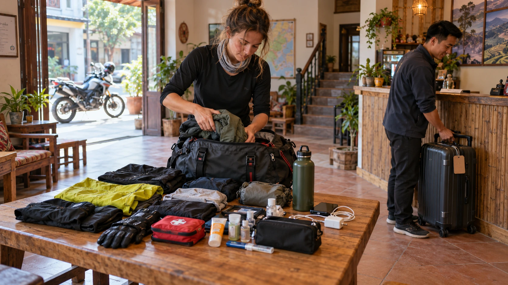
Pack light everything must fit in a backpack secured to your motorbike. Essential items include a quality helmet (many rental helmets are inadequate), riding gloves, sunglasses, and sun protection. Temperatures fluctuate dramatically between valleys and mountain passes, so layered clothing proves more practical than bulky jackets.
Bring a lightweight rain jacket regardless of season mountain weather changes rapidly. Closed-toe shoes with good grip are mandatory for riding and navigating rocky viewpoints. A basic first aid kit, sunscreen, and any prescription medications belong in your pack.
Pack a power bank (phone navigation drains batteries quickly), toiletries for basic facilities, and a headlamp for poorly lit guesthouses. A dry bag protects electronics and important documents from rain and dust. Leave unnecessary valuables in Ha Giang City most hostels offer free luggage storage for items you don't need during the Loop.
Phone Signal and Cash Access Along the Route
Mobile coverage is unreliable throughout the Loop. Viettel provides the most consistent signal, with coverage in major towns (Quan Ba, Yen Minh, Dong Van, Meo Vac) but frequent dead zones between settlements. Download offline maps before departure Google Maps offline mode and Maps.me work without data connection.
ATMs exist only in Ha Giang City, Dong Van, and Meo Vac, with the latter two often out of service or empty. Withdraw sufficient cash in Ha Giang City before starting the Loop. Budget 300,000-500,000 VND daily for accommodation, meals, and petrol, plus emergency reserves.
Most homestays and small restaurants accept cash only. Some hotels in Dong Van accept card payments, but don't rely on this option. Petrol stations are common enough (every 30-50km in populated areas), but fill your tank opportunistically you don't want to run dry searching for the next station on remote mountain roads.
Safety, Weather & Optimal Travel Timing
The Ha Giang Loop presents unique safety and weather challenges that require careful planning. Understanding seasonal patterns, road conditions, and necessary precautions is essential for a safe and enjoyable journey through Vietnam's northern mountains.
Road Safety Considerations and Technical Skill Requirements
The Ha Giang Loop features challenging mountain roads with steep inclines, sharp hairpin turns, and narrow passes that demand constant attention. Riders should maintain defensive driving practices, avoid overtaking on blind corners, and keep speed moderate especially on descents. Road surfaces vary significantly; while main routes are generally paved, some sections include gravel, potholes, and loose stones particularly after heavy rain.
The loop is not suitable for beginner riders. Completing the loop safely requires solid intermediate-level motorbike skills including comfort with manual transmission, experience navigating steep hills in low gears, confidence handling bikes on gravel and wet surfaces, and the physical stamina to ride 4-6 hours daily over multiple days.
Most accidents occur due to overconfidence, unfamiliar road conditions, or inadequate riding experience. Travelers should honestly assess their skill level before attempting the loop independently those without significant motorbike experience should strongly consider hiring an experienced Easy Rider guide or joining a tour group.
Seasonal Weather Patterns and Visibility Impact
Ha Giang's weather varies dramatically by season, directly affecting road safety and visibility.
Spring (March-May): Temperatures range from 15-25°C with moderate rainfall. Blooming flowers, particularly buckwheat in April-May, create stunning landscapes. Visibility is generally good though occasional spring fog can reduce it in early mornings.
Summer (June-August): Hot and humid with temperatures reaching 30°C and heavy rainfall. This is the wettest period with potential for flash floods and landslides. Road conditions deteriorate significantly, making passes slippery and dangerous. This season is not recommended for the loop.
Autumn (September-November): The most popular season with temperatures between 18-28°C, clear skies, and minimal rain. Golden rice terraces reach peak beauty in late September through October. Visibility is typically excellent, though morning mist can linger in valleys until mid-morning.
Winter (December-February): Cold weather with temperatures dropping to 5-10°C, occasionally near freezing at high elevations. Fog becomes a significant hazard during winter months, reducing visibility to just meters on mountain passes. Pack warm layers as wind chill at speed significantly lowers perceived temperature.
Peak Season vs Quieter Periods: Strategic Timing
September through November represents peak tourist season for the Ha Giang Loop. This period sees maximum visitor numbers drawn by ideal weather and harvest season scenery. Popular viewpoints like Ma Pi Leng Pass and Lung Cu Flag Tower become crowded, accommodation prices increase by 30-50%, and advance booking becomes necessary especially on weekends.
The quieter periods of March-April and December-January offer significantly fewer tourists. Traveling during these shoulder and low seasons means easier accommodation availability, lower prices, less traffic on narrow roads, and more authentic interactions with local communities. However, these benefits must be weighed against weather challenges March-April brings unpredictable spring weather while December-January presents cold temperatures and fog risks.
Mid-week travel even during peak season is notably quieter than weekends when domestic tourists from Hanoi flood the loop.
Emergency Response and Medical Facilities
Medical facilities in Ha Giang province are limited compared to major cities. Ha Giang City has the main provincial hospital (Ha Giang General Hospital) with basic emergency services. Smaller district hospitals exist in Dong Van and Meo Vac but offer only basic treatment.
The emergency number in Vietnam is 115 for ambulance services, though response times in remote mountain areas can exceed several hours. Serious injuries typically require evacuation to Ha Giang City or transport back to Hanoi (approximately 6-7 hours by road in good conditions).
Police emergency number is 113, though English-speaking operators are rare. Having the local accommodation owner's contact information is valuable as they can communicate with emergency services in Vietnamese. Travelers should purchase comprehensive travel insurance including emergency medical evacuation coverage before attempting the loop.
When to Hire an Easy Rider Guide vs Self-Riding
Consider Easy Rider guidance if: you lack intermediate mountain riding skills, you're traveling solo without mechanical knowledge, you want cultural immersion beyond tourist viewpoints, you prioritize safety margins over independence, or you simply want to enjoy the landscape rather than concentrate on technical riding.
Easy Rider Advantage for 4-Day Loops: Our Easy Rider tours are engineered around the 4-day structure specifically. Professional drivers handle technical sections (particularly Days 3-4 when fatigue peaks), guides facilitate authentic cultural interactions, and the pacing allows meaningful village stops that rushed itineraries eliminate. The all-inclusive pricing includes homestays, meals, and transportation typically comparable to or less expensive than independent trips when factoring in rental costs, accommodation, food, and guides.
Conclusion: Why 4 Days Transforms the Experience
While the Ha Giang Loop can theoretically be completed in 3 days, the 4-day structure represents the optimal pace for meaningful travel. The extra day eliminates time pressure that forces compromises you can visit Lung Cu Flag Tower without rushing, explore Dong Van's old quarter thoroughly, time Ma Pi Leng Pass arrival for optimal photography light, and return home without exhaustion-driven mistakes.
The Ha Giang Loop's significance lies not in completing it, but in experiencing it. The 4-day structure honors that distinction, allowing deep engagement with the landscape, culture, and communities rather than frantic sightseeing.
Trieu Thi Mai
Ha Giang Local Expert
Local mountain guide and native culture specialist at Ha Giang Easy Rider Tour.
EASY ONLINE BOOKING
Reserve Your Ha Giang Tour
No upfront deposit required. Our team will verify your Hanoi pickup details via WhatsApp.